The surprise
Pensacola feels as connected to the Gulf South as it does to the peninsula, with an old-port texture most Florida beach trips skip.
Gulf · HARBOR / BARRIER ISLAND
Start with brick streets and working-waterfront history, then cross the bay for long beaches, aviation, and a distinctly northwestern Florida rhythm.
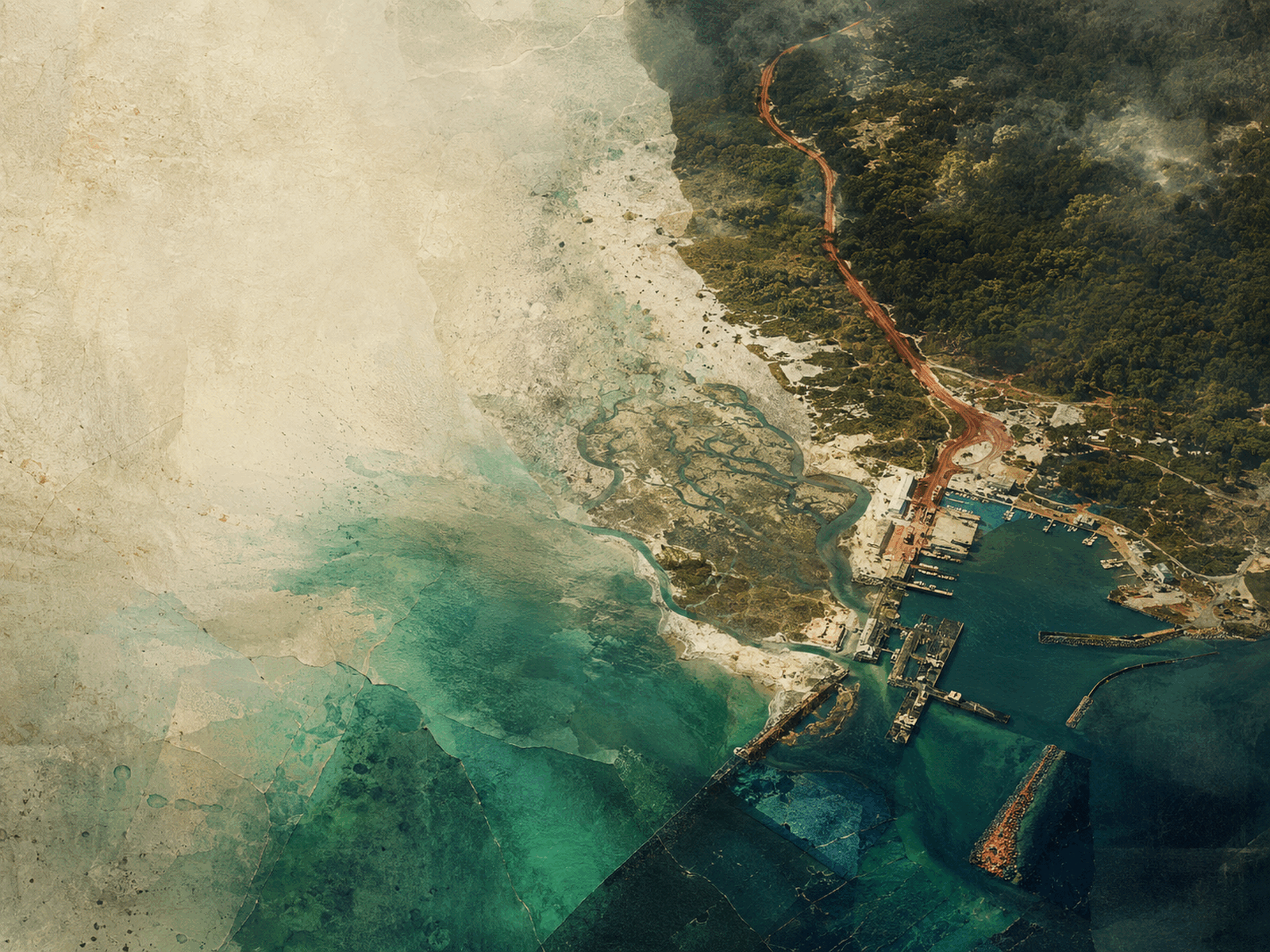
CONCEPTUAL REGIONAL COLLAGE
It supplies the Panhandle’s maritime and military history, powder-white barrier islands, and a cultural bridge to the Gulf South that no peninsula stop can imitate.
Pensacola feels as connected to the Gulf South as it does to the peninsula, with an old-port texture most Florida beach trips skip.
Daily life is divided by bridges and Navy rhythms; where you live matters more than a short mileage number suggests.
BUILD A FIRST DAY
Use this as a sequence, not a checklist. Conditions, distances, and local time matter more than collecting pins.
Walk Historic Pensacola before the heat and connect brick streets to the working waterfront.
Give the Naval Aviation Museum real time; the Navy is part of civic life here, not scenery.
Use the beach flags, then choose open Gulf or protected sound water by conditions.
Return downtown for Gulf seafood and a street-level evening rather than another beach commute.
THE ANCHORS
TASTE THE REGION
STAY BY INTENTION
A car is useful beyond downtown. Build in bridge time for the beach and check national seashore access before setting out.
Base downtown for museums, restaurants, and evening streets without moving the car often.
Choose Pensacola Beach or farther east along Santa Rosa Island for direct sand time.
Look toward Navarre or the national seashore edges and plan around bridge traffic.
BEFORE YOU GO OR SETTLE IN
Late fall and spring bring milder air. Summer delivers warm Gulf water, afternoon storms, and peak beach energy.
VERIFIED JUL 13
EXTEND THE ROUTE
Reviewed 2026-07-13Official source: Visit Pensacola ↗