The surprise
The route is less a single destination than a three-part river, fort, and island journey with radically different scales.
Atlantic · RIVER / COQUINA / MARSH
Read this region as three linked chapters: the St. Johns River city, coquina streets, and the marsh-island borderland near Georgia.
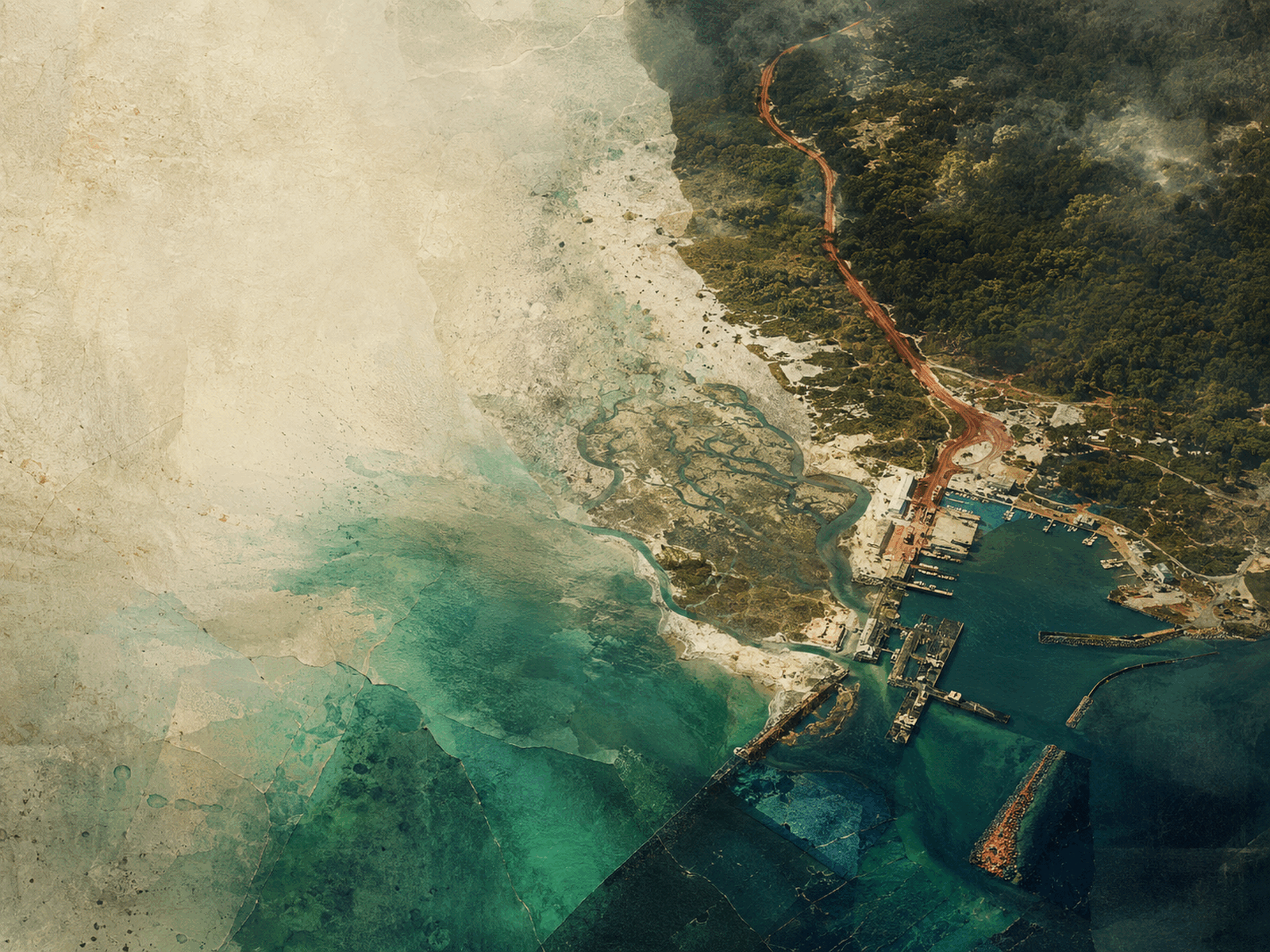
CONCEPTUAL REGIONAL COLLAGE
It joins Jacksonville’s metropolitan scale with St. Augustine’s layered colonial story and Amelia Island’s maritime calm.
The route is less a single destination than a three-part river, fort, and island journey with radically different scales.
Jacksonville’s enormous footprint makes neighborhood choice a transportation decision; St. Augustine and Amelia run on different visitor clocks.
BUILD A FIRST DAY
Use this as a sequence, not a checklist. Conditions, distances, and local time matter more than collecting pins.
Begin with Jacksonville’s river and neighborhoods or St. Augustine’s coquina streets, not both at once.
Place Indigenous, Spanish, African, British, and American histories in sequence instead of settling for a postcard story.
Shift to beach, marsh, or island time based on tide and the distance from your chosen base.
Look for Mayport shrimp and datil heat where the region’s working-water identity shows up on the plate.
THE ANCHORS
TASTE THE REGION
STAY BY INTENTION
A car connects the three chapters. Within historic St. Augustine and select Jacksonville districts, walking is the better tool.
Choose a Jacksonville neighborhood around Riverside, San Marco, or the Beaches based on your daily focus.
Stay near St. Augustine’s historic core, accepting that peak-day parking is the tradeoff.
Fernandina Beach puts a compact historic district near dunes and maritime landscapes.
BEFORE YOU GO OR SETTLE IN
Cooler Atlantic winters make this a strong walking season. Summer beach days work best with early starts and storm flexibility.
VERIFIED JUL 13
EXTEND THE ROUTE
Reviewed 2026-07-13Official source: Visit Jacksonville ↗